GLACIATIONS ~ PHYSICAL GEOGRAPHY FORM 5 & 6
GLACIATIONS
It appears that roughly every 200 – 250 million years in the earth’s history, there have been major periods of ice activity. Of these...
PHOTOGRAPH INTERPRETATION ~ GEOGRAPHY FORM 5 & 6
INTRODUCTION TO PHOTOGRAPHS
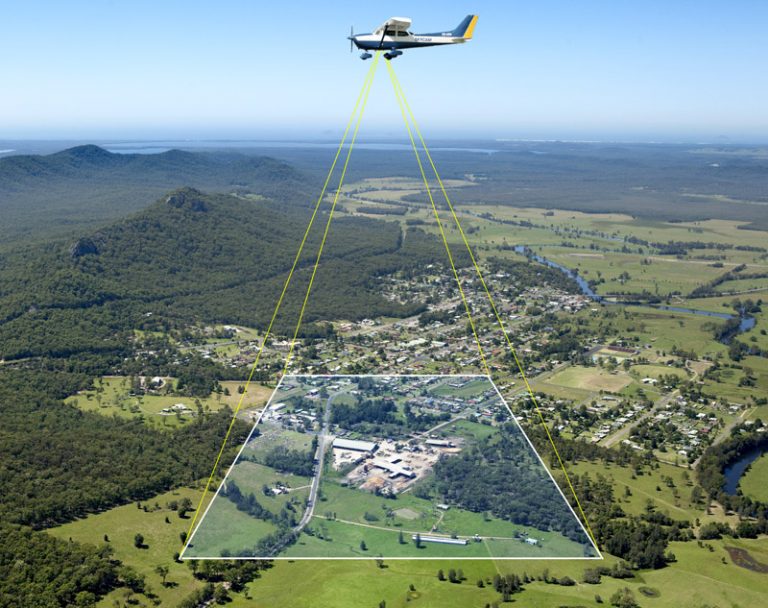
Photographs are the true image pictures showing truly appearance of the earth’s surface objectives on the flat bodies of special pieces of...
RIVER ~ PHYSICAL GEOGRAPHY FORM 5 & 6
RIVER
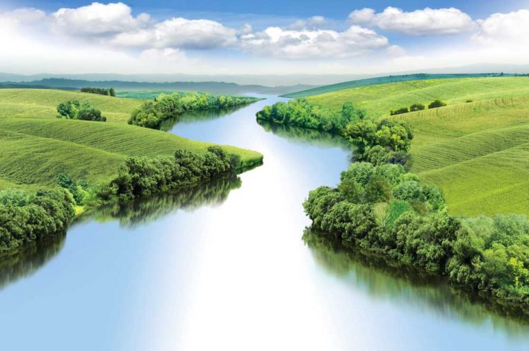
Mass of water flowing in a natural channel over the earth surface from the high land to low land under the influence of gravity.
TYPES...
TOPIC 1 ~ WATER MASSES ~ GEOGRAPHY FORM 6
1.1 GROUND WATERWATER CYCLE
-Rain falls on the earth surface in filtrates (soaks into) the soil– -Some water flows over the surface as overland flow...
IMAGE DISPLACEMENTS, SCALE DISTORTION AND PARTS OF THE PHOTOGRAPHS ~ GEOGRAPHY FORM 5 &...
IMAGE DISPLACEMENTS
(PARALLAX)
On some photographs, the images of objects do not appear uprightly vertical as are in real life. They are observed to appear displaced...
WAVE ~ PHYSICAL GEOGRAPHY FORM 5 & 6
WAVE
WAVE ACTION AND THE FEATURES IT PRODUCES.
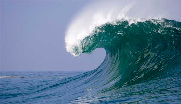
-Is the horizontal movement of ocean water, in the movement process it does the following three main works:...
EXTERNAL FORCES ~ PHYSICAL GEOGRAPHY FORM 5 & 6
EXOGENETIC FORCES WHICH SCULPTURE THE SURFACE OF THE EARTH
These are external forces. They operate on the surface of the earth.
a) Denudation:
These are destructive forces...
TOPIC 5 : SIMPLE SURVEY AND MAP MAKING ~ GEOGRAPHY FORM 5 & 6
INTRODUCTION TO SURVEYING
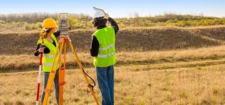
Surveying is an art or a science of measuring and recording distances, shape and heights in the field on the earth surface...
CLIMATOLOGY ~ GEOGRAPHY FORM 5 & 6
WEATHER, CLIMATE AND NATURAL REGIONS
Weather is the atmosphere condition of an area recorded within a short period of time which can be day after...
GEOGRAPHY FORM 6 NOTES ALL TOPICS
GEOGRAPHY FORM 6 NOTES ALL TOPICS
GEOGRAPHY FORM 6 NOTES ALL TOPICS : Geography (from Greek: γεωγραφία, geographia, literally "earth description") is a field of science devoted to the...
THEORY OF PLATE TECTONIC ~ PHYSICAL GEOGRAPHY FORM 5 & 6
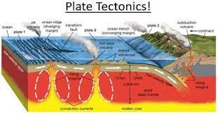
PLATE TECTONIC THEORY (Unifying theory)
It takes the combination of theory of theory of isostasy, continental drift and ocean floor spreading.
According to this theory, the...
TECHNIQUES (CONSIDERATIONS) SPECIFIC DETAILS INTERPRETATION ~ GEOGRAPHY FORM 5 & 6
TECHNIQUES (CONSIDERATIONS) SPECIFIC DETAILS INTERPRETATION ~ GEOGRAPHY FORM 5 & 6
RELIEF
Relief refers to the physical appearance of an area by contrasting landforms. Relief features...
STATISTICAL MAPS | GEOGRAPHY FORM 5 & 6
STATISTICAL MAPS
As it has been introduced in the chapter one; the numerical data after to have been collected, summarized and analyzed; are presented to...
TOPIC 5: REGIONAL FOCAL STUDIES ~ GEOGRAPHY FORM 6
REGIONAL FOCAL STUDIES
1. ENVIROMENTAL FRIENDLY TOURISM
Tourism can be regarded as the movement of people away from home to other places of interests for leisure,...
TOPIC 3: SPACE DYNAMIC ~ GEOGRAPHY FORM 6
WEATHER AND CLIMATE
(a) Difference between weather and climate
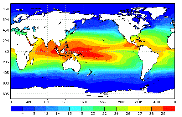
There is a slight difference between weather and climate. Weather refers to as the actual state of...
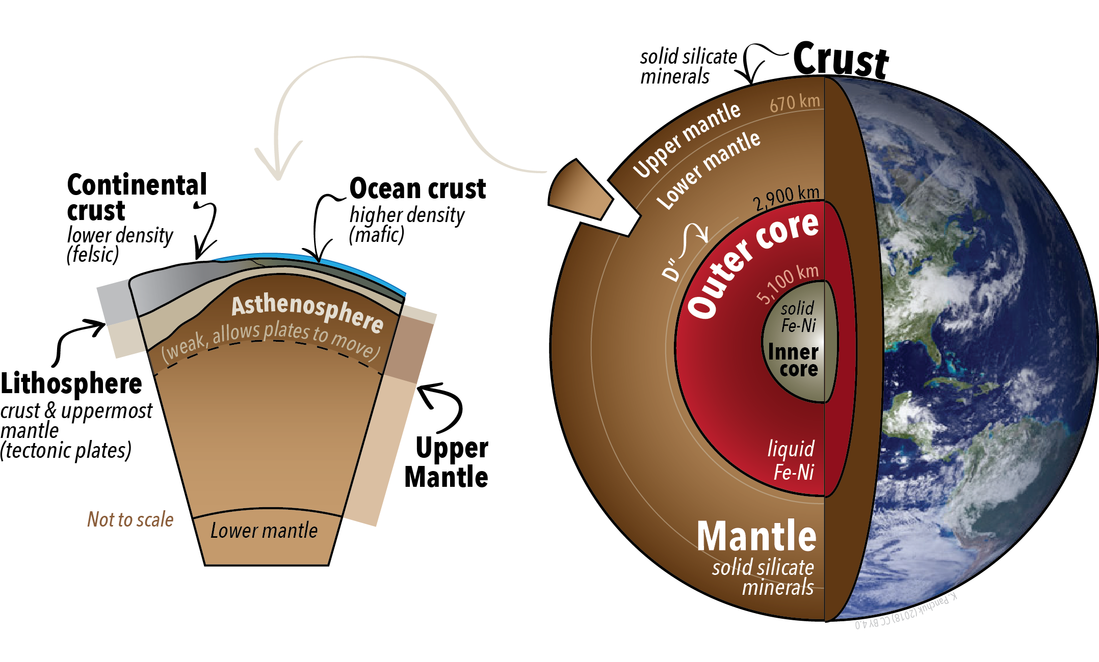
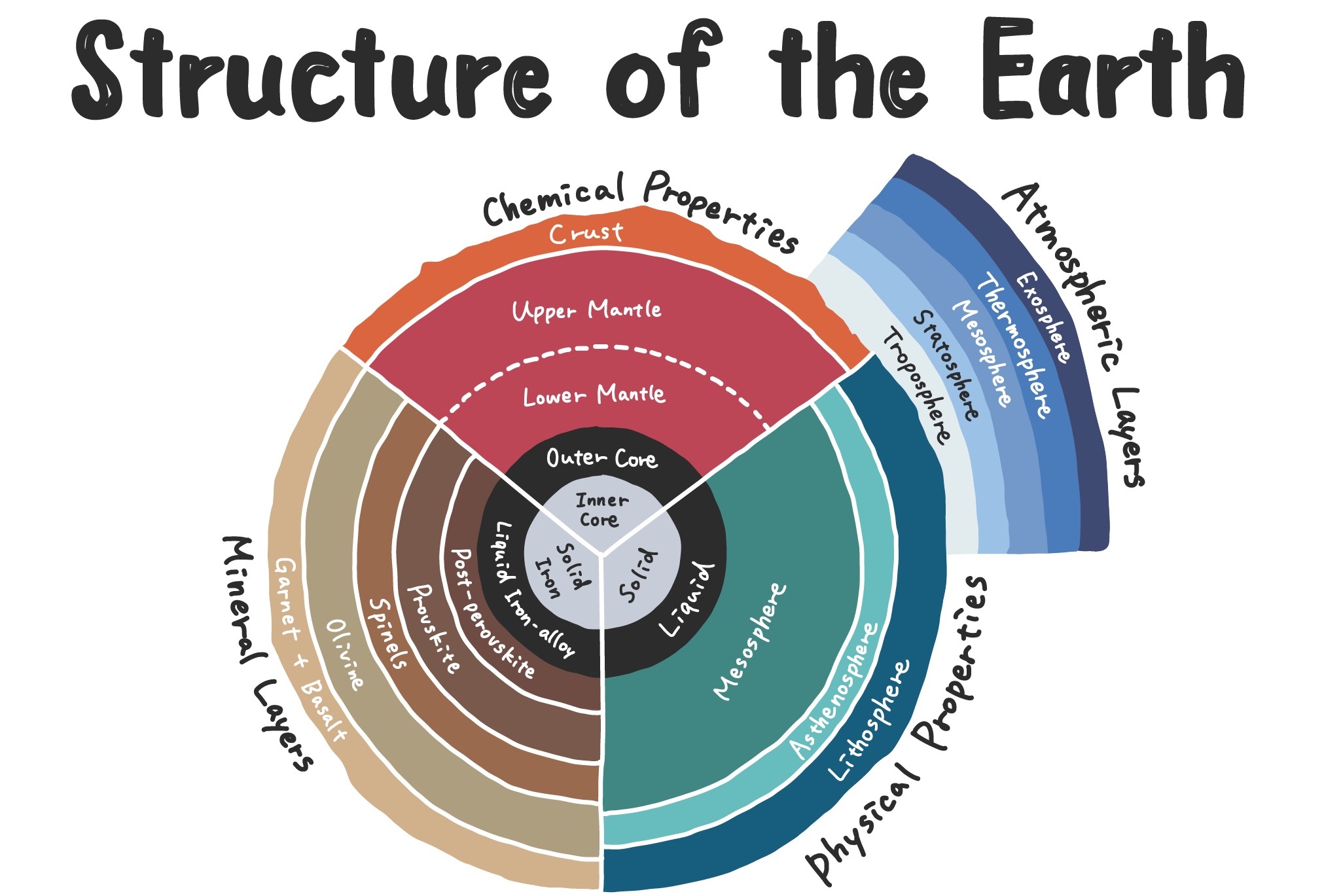
TOPIC 3: POSITION BEHAVIORS AND STRUCTURE OF THE EARTH ~ PHYSICAL GEOGRAPHY FORM 5
GLOBE Is the model of the earth
Earth Is ball of rock partly covered by water, land, air and living organism
Origin of the earth (cosmological...
THEORY OF CONTINENTAL DRIFT ~ PHYSICAL GEOGRAPHY FORM 5 & 6
According to his theory about 280 million years, the present day continents were united in a single block called Pangaea and surrounded by ocean...
STATISTICAL GRAPHS | GEOGRAPHY FORM 5 & 6
TATISTICAL GRAPHS
These are the graphs designed to illustrate values of geographical items by means of lines or bars and in turn allow quantitative analysis.
The...
NECTA Questions Physical Geography Advanced Level
NECTA Questions Physical Geography Advanced Level
NECTA Questions Physical Geography Advanced Level:- Physical Geography NECTA Questions up to 2023 – Advanced Level | Solving questions...
TOPIC 2: STUDY OF SOILS ~ GEOGRAPHY FORM 6
CONCEPT OF SOIL AND SOIL PROFILE
Soil appears very complex and thus different scholars (soil scientists) have developed a number of definitions about a soil...


